
Jefferson City ZIP Coverage
The Missouri state ZIP export identifies eleven Jefferson City and Cole County codes, from 65101 through 65111. The state table is a ZIP and place dataset, not a USPS boundary map, so the coverage below keeps its limits visible. This ZIP code directory treats the standard-delivery areas differently from box and unique-use designations. USPS remains the address-level check when a street, unit, or mailing label matters.
| ZIP | Areas Covered | Post Office | Notes |
|---|---|---|---|
| 65101 | Main Jefferson City delivery area; postal aliases include Cedar City, Honey Creek, Osage Bend, Osage Bluff, Osage City, Schubert, Taos, and Wardsville | Jefferson City standard delivery | Aliases reach beyond a simple city-limit line. Verify the full address with USPS. |
| 65102 | Jefferson City postal boxes | Jefferson City PO Box | A box designation, not a physical situs. |
| 65103 | State-agency or unique-use Jefferson City address range | Unique institutional | Current institution label was not independently verified. |
| 65104 | State-agency or unique-use Jefferson City address range | Unique institutional | Do not treat it as an ordinary address-delivery area. |
| 65105 | State-agency or unique-use Jefferson City address range | Unique institutional | Verify current use through USPS. |
| 65106 | State-agency or unique-use Jefferson City address range | Unique institutional | Verify current use through USPS. |
| 65107 | State-agency or unique-use Jefferson City address range | Unique institutional | Verify current use through USPS. |
| 65108 | State-agency or unique-use Jefferson City address range | Unique institutional | Verify current use through USPS. |
| 65109 | Brazito, Elston, Saint Martins, and portions addressed as Jefferson City | Standard delivery | Postal geography extends past a simple city-limit polygon. |
| 65110 | Jefferson City postal boxes | Jefferson City PO Box | A box designation, not a situs location. |
| 65111 | Unique Jefferson City institutional delivery | Unique-use | Exact current institution label was not verified in the official text. |
The state dataset confirms the range, but no direct official ZIP-to-neighborhood boundary map or historical realignment year was found. A code can guide a search, yet it should not replace the street address, the parcel, or the legal description when the question concerns local geography.
Jefferson City Standard Delivery Areas
65101 and 65109 are the standard-delivery geography in the research. They are also the clearest illustration of why postal and municipal labels differ. The recognized aliases tied to 65101 include nearby settlement and rural names. 65109 includes Brazito, Elston, Saint Martins, and some places addressed as Jefferson City. Neither pattern establishes that each street falls within the city limits.
USPS explains ZIP routing and the limits of using a ZIP as a municipal boundary.
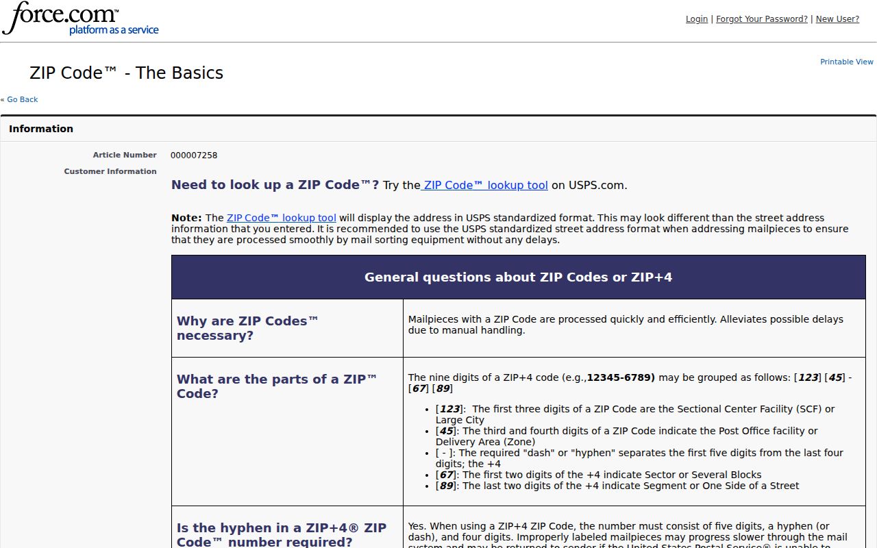
Postal routing uses the address needed to move mail efficiently. City government, county parcels, and voting geography use different boundaries. For a Jefferson City street question, compare the verified mailing result with the site address and a Cole County GIS parcel rather than inferring a jurisdiction from the ZIP alone.
Jefferson City Boxes and Unique Uses
65102 and 65110 are Jefferson City PO Box designations. A box is a mail-receipt location, so it does not reveal a physical parcel or home. Codes 65103 through 65108, plus 65111, are assigned in the Jefferson City dataset as unique or institutional delivery. The research connects the city’s concentration of state offices with these special uses, but it does not verify an exact current institution label for each code.
That caution matters in a capital city. A Jefferson City mailing address can identify a state office rather than a household. Keep the code as postal context, then validate the precise address through USPS and use the situs address or GIS when a physical location must be confirmed.
Verify a Jefferson City ZIP
Use the USPS Address Lookup to check an exact deliverable address before comparing records. It is the source designed to resolve postal delivery, unlike a county deed index or a parcel map. Write down the returned five-digit result with the street address, then keep that result separate from the county parcel number and legal description.
The USPS address lookup screen is the appropriate address-level verification route for Jefferson City mail delivery.
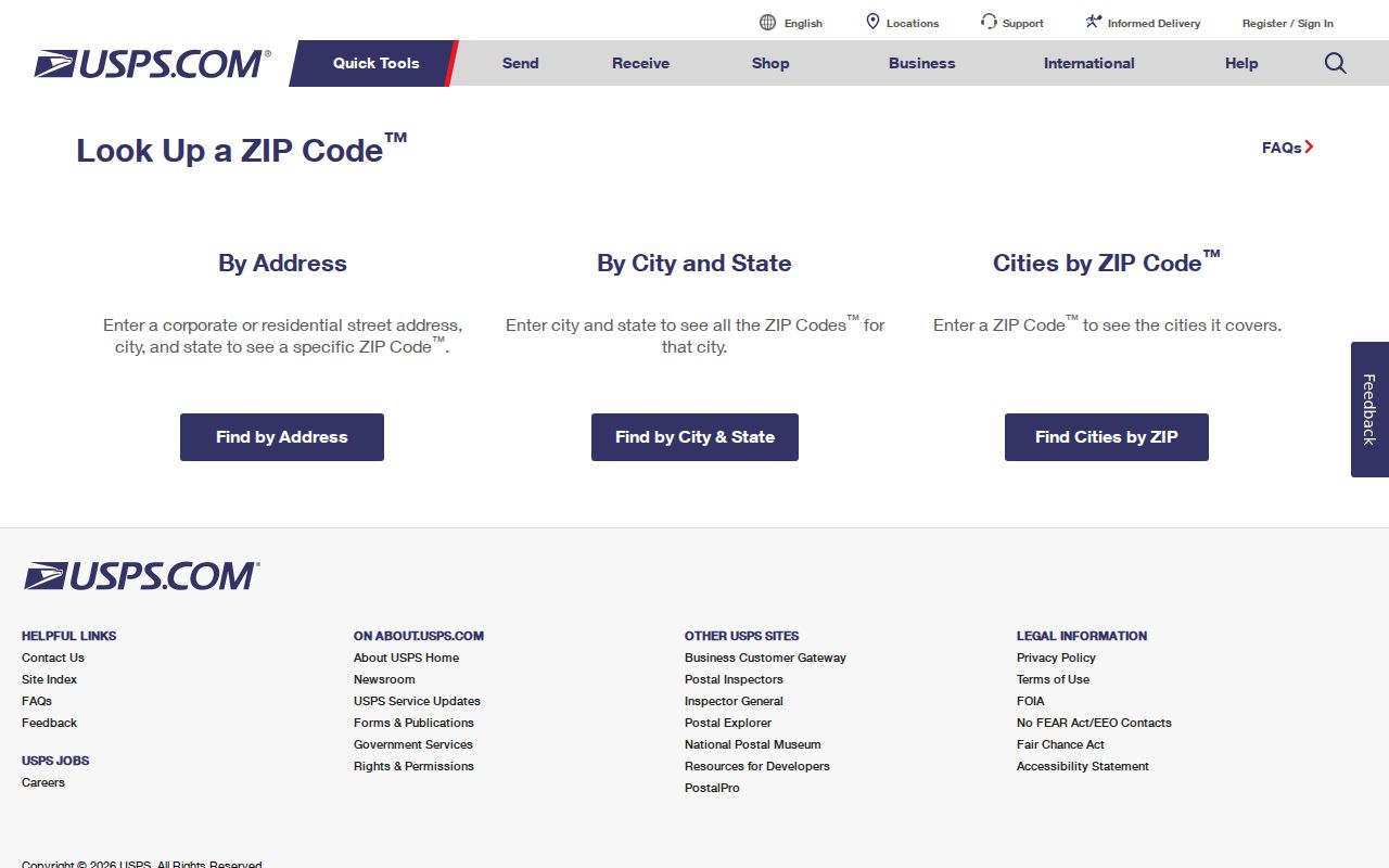
The lookup can settle a mailing question without resolving every records question. It does not identify a parcel owner, prove municipal residence, or create a list of people within a code. Pair the verified address with the source that actually controls the next question.
ZIP Fields at Jefferson City Portals
Local record tools do not share a common ZIP filter. Cole County’s public DEVNET real-estate form has useful address fields but no basic ZIP field. Its Advanced Search is a possible property-filter route, though the live advanced options were not captured in the research. The voter form requires a named-person match and county selection, not a ZIP-wide browse. The Recorder works from names and legal-document clues, while GIS supplies parcel context.
| DEVNET basic field | Required | How it works |
|---|---|---|
| Parcel Number | No, one field is required overall | Strongest tax-record pivot when known. |
| Owner Name | No | Use the tax-bill spelling and test exact variants. |
| House Number | No | Use the numeric street portion. |
| Street Name | No | Use the street wording, without assuming a ZIP filter exists. |
| City | No | A city text field, not proof of city-limit residence. |
The Cole County DEVNET search is therefore a parcel and address tool after postal verification, not a basic ZIP-wide property list. MidMoGIS can help locate the physical parcel, but its exact live ZIP-layer and filter controls were not confirmed. No official local portal in the research offered a documented public ZIP-wide resident browse.
Searching One Jefferson City ZIP
A ZIP code directory can narrow a local search when it starts with a real address, but the next source must match the question. Use the postal result to confirm delivery, the tax system for a parcel, and a controlled voter form only for an individual verification that meets its required fields. This sequence avoids claiming that a ZIP search produces a complete roll of people.
- Check the full address with USPS and save the returned ZIP with the exact street wording.
- Search DEVNET by house number, street name, and city because the public basic form does not expose a ZIP field. Record the parcel number, situs address, and legal description if a result matches.
- Open MidMoGIS for parcel context. Its map can connect the street location to the parcel, but recorded deeds and surveys control when a legal boundary matters.
- Use Missouri Voter Outreach only for a lawful individual match. The form requires first name, last name, date of birth, last four SSN, and county, so it is not a ZIP-wide browse.
- Once the address is narrowed to a street, use the Jefferson City street directory for the address-by-address record path.
For records not placed online, the local fallbacks are the Assessor’s office terminal, the GIS office, the County Clerk, or a focused Missouri Sunshine Law request to the custodian. State voter data has protected-address rules, and the available research did not locate a Cole County bulk voter-file request form, fee, or ZIP output format.
Jefferson City ZIPs and City Limits
Postal boundaries and city limits disagree locally. The 65101 aliases and the 65109 places show why an address labeled Jefferson City may sit in unincorporated Cole County or a nearby named place. The opposite mistake also occurs with PO Box and unique codes: a Jefferson City label may point only to mail delivery or a state-agency use. A parcel’s situs address and GIS location provide the more useful starting point for a municipal-boundary question.
Jefferson City planning and public works handle street and addressing context, while Cole County GIS maintains parcel maps and receives Recorder information daily. Parcel lines on the map are approximated from legal descriptions and surveys. When a map and deed differ, the recorded legal description or survey controls the legal question.
Note: Postal city labels help route mail, while situs addresses and recorded parcel descriptions are the safer tools for determining where land is physically located.
Jefferson City ZIP Code Terms
Postal words and land-record words solve different parts of an address problem. Keeping them apart makes a Jefferson City result easier to check and less likely to be overstated. The terms below describe the layers most often encountered when a postal match is compared with county records.
- ZIP and ZIP+4
- A ZIP is the five-digit postal routing code. ZIP+4 adds four delivery-segment digits to refine mail sorting for a specific address range or delivery point.
- PO Box ZIP
- A ZIP assigned to post-office boxes. It identifies a mail-receipt designation, not the physical situs of the box user.
- Unique ZIP
- A ZIP assigned to a single institution or special delivery use. Its exact current purpose should be verified instead of assumed from the code alone.
- Carrier route
- A postal delivery grouping used for mail movement. It is not a municipal boundary, parcel line, or list of households.
- Situs address
- The physical parcel location used in assessor, GIS, permit, and tax records. It can differ from the mailing address.
For a historical address, add one more check. Jefferson City historic material documents address changes and the use of Sanborn maps to bridge an older location. A current ZIP or modern city label should never be projected backward without the street, plat, or historic record that supports the match.