
Walking a Jefferson City Street
Start the Jefferson City street directory with one confirmed house number and street name. The Assessor's DEVNET form can produce the matching parcel card. Write down the site address, parcel number, owner name, and legal description. Then use MidMoGIS to place that parcel among nearby lots. The map helps identify the physical order of parcels, while DEVNET supplies the tax-card fields. Keep the map and tax card separate because the map is a locating aid, not a legal survey.
- Search DEVNET by house number, street name, and city, or use the parcel number.
- Record the parcel and legal description with the site and mailing addresses.
- Open MidMoGIS, zoom to the parcel, and identify adjacent parcel IDs one at a time.
- Find the current owner as grantee in the Recorder's index, then capture the earlier grantor and deed details.
- For an earlier household clue, compare held directory years and census dates instead of treating a deed as an occupancy list.
Note: A title, tax-card, map, and directory observation often have different dates and should not be treated as one event.
DEVNET Jefferson City Street Fields
The basic DEVNET Real Estate Search exposes Parcel Number, Owner Name, House Number, Street Name, and City. At least one field is required. A parcel number is the strongest pivot when it is already known, but house number plus street name is a practical first query. The county does not document a basic form control for browsing every parcel on a street or exporting results. Repeat precise searches rather than assuming an incomplete row is the whole block.
| Street directory field | Entry type | Research use |
|---|---|---|
| Parcel Number | Text | Connects the tax card to the deed and map record |
| Owner Name | Text | Use the spelling on the tax bill |
| House Number | Text | Street-number component |
| Street Name | Text | Try exact current spelling first |
| City | Text | Postal clue that still needs GIS confirmation |
| Search | Action | Returns matching property records |
DEVNET also offers personal-property and advanced-search paths, but the exact advanced options were not captured in the research. Do not assume a ZIP, block, or export filter exists. The Assessor's office terminal and paper or digital maps are the documented fallback for detailed research.
Jefferson City Street Record Meanings
The street directory works best when the fields have clear jobs. A situs address identifies the physical parcel. A mailing address identifies where the tax notice goes. A legal description is the lot, block, subdivision, or survey language used in recorded documents. The owner on the tax card can be a useful lead, but does not prove that the owner lives there or identify every occupant. The Collector's tax mailing address has the same limitation.
- Parcel
- The county identifier for a tract or lot used in tax and map records.
- Situs address
- The physical address of the parcel.
- Plat
- A recorded map that shows lots, blocks, and subdivisions.
- Criss-cross directory
- An address-order volume that can provide a dated subscriber or business lead.
Current property cards can show owner names, mailing and site addresses, parcel and account numbers, legal description, acreage, valuations, taxing bodies, taxes, payment dates, and notices. They do not contain a deed image, voter status, full date of birth, or a complete prior-owner chain. Each missing field is a reason to move to the relevant custodian rather than infer it from the card.
Jefferson City Records by Street
Several Jefferson City records can be keyed to an address, but their value differs. The Assessor and GIS establish the parcel. The Recorder provides the recorded transfer chain. Permits can date building work. Historic directories can tie a subscriber or business to an address in a particular year. Voter records have statutory public fields, but the public online tool requires a personal match and cannot act as a street-wide directory.
| Address record | What it can show | Access channel | Key limit |
|---|---|---|---|
| DEVNET property card | Owner, situs, mailing address, parcel | Free portal or Assessor office | Not a household roster |
| MidMoGIS | Parcel context and public layers | Free map | Lines are approximate |
| Recorder instruments | Transfers and legal description | iCounty or Recorder counter | Image access and coverage vary |
| City permits | Address and work-timing evidence | SmartGov or Laserfiche reports | Fields and start date not posted |
| Historical directories | Past subscriber or business clues | Library or archive shelf | Held years are discontinuous |
The record chain starts with a parcel, not a surname. When a name repeats on a block, the legal description and recorded date distinguish the relevant transaction. The previous residents search continues that one-address chain backward through deeds and historical sources.
MidMoGIS Jefferson City Parcel Context
MidMoGIS is the public map bridge between a street and the Assessor record. Open the map, search or zoom to the street or parcel, click a parcel, and use the exposed parcel identifier or ownership link to reach DEVNET or call the Assessor. Repeat for the parcels immediately beside it. Aerial, district, flood, planning, school, fire, and voting layers provide context, but the researched public capture did not establish a particular live control, buffer tool, or export option.
See the county's Mapping page before using the map as a street directory. It describes ownership-map access and cautions that parcel lines are approximated from legal descriptions and surveys.
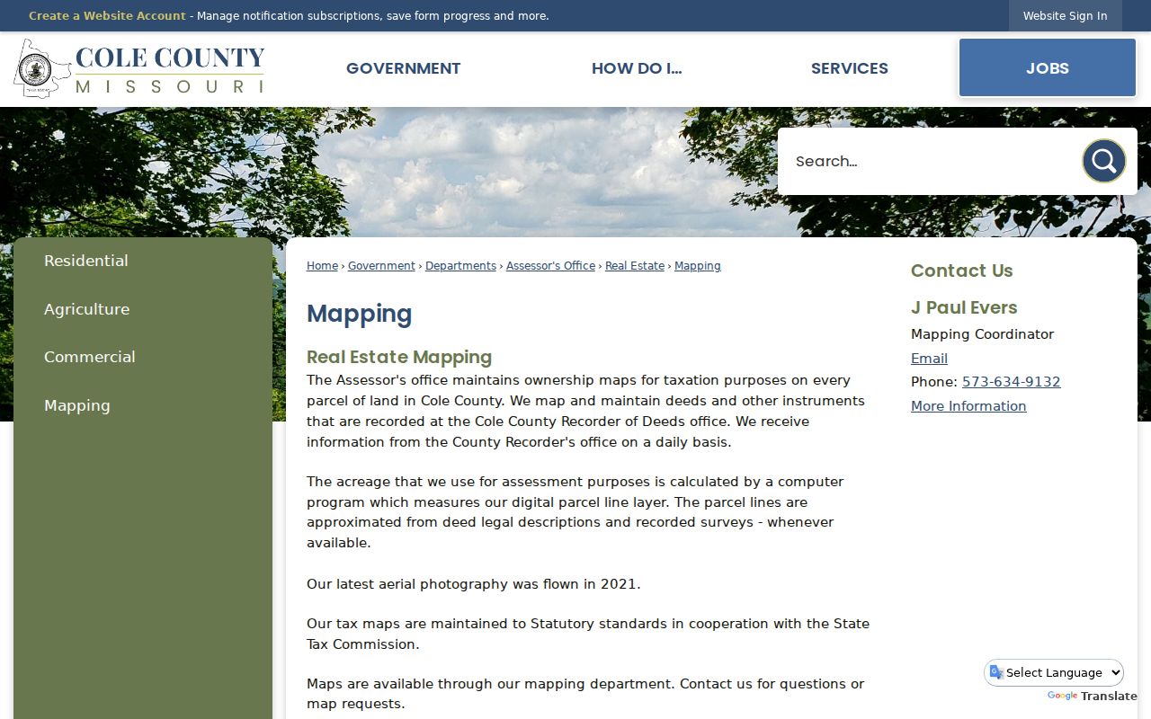
That distinction matters along alleys, right-of-way strips, multi-parcel tracts, and boundary edges. A recorded plat or survey resolves the legal boundary, not a line displayed on an aerial image.
Jefferson City Deed Chain Steps
Once DEVNET supplies the parcel's current legal description and owner, search the owner as grantee in the Recorder's grantor-grantee index. Record the grantor, grantee, document type, recording date, book or document number, and legal description. Then search the seller as a prior grantee. The repeating legal description is the safeguard against connecting two people with the same name to different parcels.
Cole County describes a general Recorder reference index back to 1821, but online depth changes by series. REAL books 261-current are listed as full index and images from June 1980-current; REAL books 216-260 are partial from October 1969 through May 1980. Another county description states a July 1983 full digital-index cutoff. Cite the actual series or book instead of flattening that difference into one promise.
iCounty needs a paid account for online images. The Recorder counter, historical book-page images, and State Archives reels are the fallback when the selected series is older or incomplete. Staff can assist retrieval, but cannot provide a title opinion.
Jefferson City Permit Address Trail
City building records can give a different kind of address evidence. Jefferson City links an Individual Building Permit Search through SmartGov and monthly permit reports through Laserfiche. A permit can place an applicant, owner, or work project at an address and date. It should not be treated as proof that every person at the property lived there. The researched landing pages did not provide a complete public field inventory or a coverage start date.
The official permit application says a certificate of occupancy is required before occupation and a permit can become void if work has not started within 180 days. Those are building-process facts, not household facts. Search by a precise address or request a dated record through the city custodian when the portal does not return the needed document.
View the Jefferson City SmartGov landing page for the individual search route.
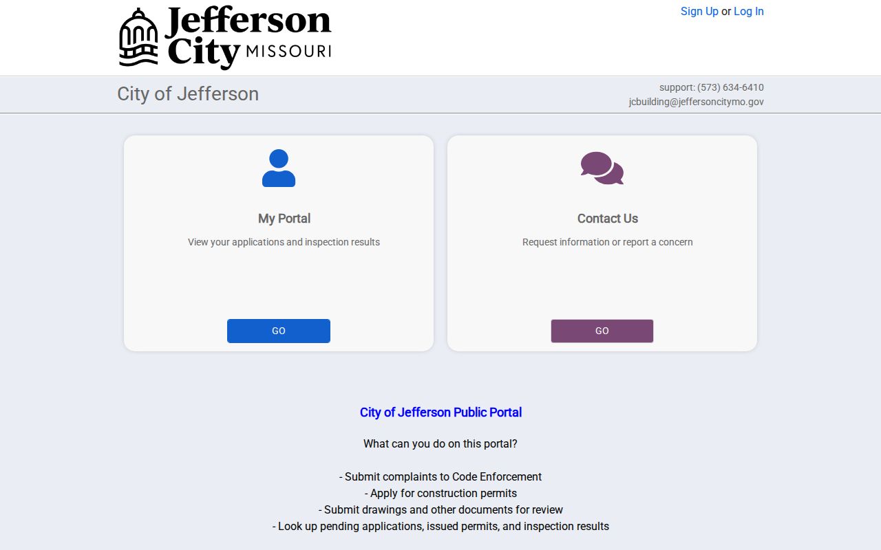
Pair a permit result with the parcel, deed, and relevant directory year before using it in an address timeline. A permit approval and an actual move date are not the same event.
Jefferson City Historical Street Clues
Older street work needs an address bridge. The St. Louis County Library inventory documents Jefferson City directory years from 1904-05 through 1955, with substantial gaps. At MRRL, ask for telephone books, criss-cross volumes, yearbooks, local newspapers, and obituary leads, because the public services page does not publish an exact local run. Search both alphabetical and address-order pages where they exist. A person may appear under initials, a spouse, a business, or an older street abbreviation.
Sanborn map leads for Jefferson City include 1885, 1892, 1898, 1916, 1923, and 1939. City historic-district material documents using a Sanborn map to bridge changed historic addresses around Lafayette Street. That is evidence of an address-continuity problem, not a verified citywide renumbering. Use an ordinance, plat, legal description, or map sheet to explain a change.
Jefferson City Map Update Gaps
The county Mapping office receives Recorder information daily, but a newly signed deed, recorded transfer, map layer, tax card, and voter record can still reflect different update moments. Cole County has more than 33,000 real-estate parcels, which makes a parcel number more dependable than a broad surname scan. Tax bills are mailed in November and are due December 31, while an ownership transfer can occur before or after the tax record was prepared.
Recent records access also has a practical caution. The Recorder office flooded in May 2025, and researched reporting described follow-up remediation. That does not establish that a record series was lost. It is a reason to call before an in-person historical search and confirm the counter, room, image access, or book needed.
Note: County maps provide useful current context, but legal descriptions and surveys remain the controlling sources for parcel boundaries.
Limits of a Jefferson City Street Directory
A responsible Jefferson City street directory cannot identify every household member. Tax cards generally identify an owner and mailing contact. The online voter lookup is a controlled match, not a public street roster. Utility customers and delivery information were not found as public search sources, and motor-vehicle address information is restricted under the federal Driver's Privacy Protection Act. A church, business, vacant lot, state office, or unique ZIP delivery point can also sit on the same block.
Safe at Home participants, protected voters, sealed court records, juvenile or adoption records, and restricted vital records may create a deliberate blank. Say that the information is not publicly returned, rather than claiming a person has no record. The City Clerk, County Clerk, Recorder, Assessor, and library each handle different access requests.
Lawful personal use. Jefferson City street and address records are for personal, lawful research. Do not use a record to stalk, harass, intimidate, or harm anyone.