
Jefferson City Neighbors by Parcel
A Jefferson City neighbors search is strongest when it begins with the property geography, not a guessed list of people. The free MidMoGIS hub helps place an address among parcels. The Cole County DEVNET property search then supplies the parcel’s tax-card details. A parcel owner and a person who lives at the site may be different. Community sources add history or a public contact route, but they do not create a roster of every household on the block.
| Source | What It Shows About a Block | Access |
|---|---|---|
| MidMoGIS | Parcel geography, ownership-map context, aerial and public district layers | Free public mapping hub; map lines are approximate |
| DEVNET tax card | Owner of record, situs and mailing addresses, parcel number, legal description, and tax context | Public basic property search |
| Recorder and plats | Deeds, legal lot or block, subdivision, and recorded parcel evidence | Index depth varies; online images require an iCounty account |
| Voter records | A controlled individual match or election geography | Missouri law controls public fields and protected entries |
| Community and history sources | Public project, organization, or historical leads | Public contacts and research assistance, not member rosters |
Keep the owner name, situs address, mailing address, parcel ID, legal description, tax year, and source date separate in notes. A useful block record describes the parcel connection without claiming that every owner, contact, or voter is physically present. That distinction protects accuracy when a parcel belongs to a trust, an estate, an organization, or a person who receives notices elsewhere.
Jefferson City Neighbor Address Parcels
DEVNET gives the most direct starting fields for a known address: House Number, Street Name, and City. Parcel number and owner name are alternatives. At least one field is required. Search with the street number and the street name first, then record every result rather than collapsing parcels by a shared surname. Jefferson City in the city field is useful, but it is not proof that the parcel lies inside a particular boundary.
The tax card draws an important line between two kinds of addresses. A situs address is the place where the parcel sits. A mailing address is the place used for tax notices. Neither field is a complete statement about a block’s residents. The card may also provide the parcel number, account number, legal description, acreage, valuation categories, taxes, payment history, and tax-sale notice language. Use the parcel number as the next pivot, especially when street spelling or a subdivision name changes.
- Parcel
- A tract in the assessor’s record system, identified by a parcel number and linked to tax and mapping information.
- Situs address
- The physical location of the parcel. It can differ from the owner’s correspondence address.
- Legal description
- The recorded lot, block, subdivision, or boundary language used to identify land beyond a street address.
- Plat
- A recorded map that shows lots, blocks, subdivisions, or easements. It is stronger than aerial pixels for a boundary question.
Mapping Jefferson City Neighbor Parcels
The practical sequence is address to parcel, parcel to tax card, then tax card to the recorded description. MidMoGIS is a locating aid. Cole County says its ownership maps use Recorder data daily, while parcel lines are approximated from legal descriptions and surveys. Exact live viewer controls for selecting, measuring, buffering, or exporting were not confirmed in the research. Do not claim a particular tool is available when the public capture did not establish it.
- Search the anchor address or parcel in DEVNET, then open MidMoGIS for the street and parcel context.
- Identify parcels immediately north, south, east, west, or across an alley. Click each parcel if the map exposes a parcel link or identifier.
- Open each corresponding DEVNET record. Record its parcel ID, situs address, mailing address, owner of record, and legal description.
- When an edge is unclear, compare the lot, block, subdivision, or the recorded plat or survey. Do not settle a boundary question from an aerial image.
- For an older block, compare historical address pages and Sanborn map leads with the parcel description, noting that a nearby parcel may have been a church, business, vacant lot, or renamed street.
That loop works for the immediate block. For a longer named-street chain, the Jefferson City street directory uses the broader address-by-address record sequence.
Note: A map click can land on an alley, right-of-way, multi-parcel tract, or nearby jurisdiction, so verify the parcel identifier before drawing a conclusion.
Jefferson City Neighbor Lot Edges
Two lots can touch only at a corner. An alley or common strip can separate what looks like an adjacent address. For those cases, the lot, block, subdivision, and recorded plat are the correct evidence. The Cole County Recorder’s general reference index reaches back to 1821, but online coverage differs by book series and many images need an iCounty subscription. The Recorder does not provide title opinions, so a name in a deed should not be treated as a legal ownership conclusion without the full record trail.
The county’s printed 2026 Plat Book contains Jefferson City street maps and landowner information for parcels of five or more acres outside city limits. It is sold for $35 at the Assessor, Recorder, Clerk, and Public Works offices, with cash or check. For recorded material, use the Cole County online-records information to check the series boundary and counter route. A deed, plat, or survey controls when a map display and a legal description disagree.
Jefferson City Neighbor Voter Rules
A block is not a voter list. Missouri’s individual Voter Outreach Lookup requires first name, last name, date of birth, last four Social Security digits, and county. It is not a casual street-address browse. Section 115.157 identifies public voter fields and restricts commercial use, while protected-voter and Safe at Home rules can withhold an actual residence address. Do not attempt to work around those protections.
Section 115.163 may allow precinct-register inspection or a request at reasonable times, subject to the public and protected split. The local contact is the Cole County Clerk, 311 E High, Room 201, Jefferson City, 573-634-9100. The research did not locate a county voter-file request form, fee schedule, delivery format, or block-level output specification. Polling places and wards can identify election geography, not everyone who lives there. Voter history describes participation, never ballot choices.
Jefferson City Neighborhood Contacts
Community organizations can explain the block’s history or offer a public point of contact. They should not be used as informal resident rolls. Old Munichburg’s historic Southside core is described as roughly 14 blocks south of Rex Whitton Expressway and US 50/63, with a broader Southside context also described by the organization. Its boundaries are useful local history, not a city parcel boundary. The association reports projects including neighborhood-watch work, murals, a community improvement district, National Register work, and Oktoberfest, but it does not publish a public membership list.
| Public contact or research source | What it can provide |
|---|---|
| Old Munichburg Association | Neighborhood history, projects, and a public contact route. Membership is open to residents, businesses, and supporters, but no roster is posted. |
| Jefferson City East Side Business Association | East Side community and business context with an about and contact route, not a resident list. |
| Chamber civic directory | Named civic organizations. It does not establish organization membership or household occupancy. |
| Missouri River Regional Library | Local history, yearbooks, photographs, newspapers, and genealogy assistance for a dated neighborhood question. |
The Old Munichburg Association’s public history and contact material provides a civic layer for Jefferson City neighbors without identifying members.
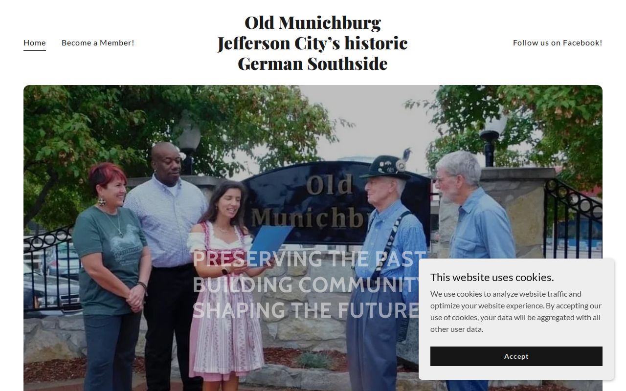
Use this association material to frame a historical question or to locate the public contact channel, then verify any parcel claim through the county record. Do not infer membership from an address, event, or attendance.
Jefferson City East Side Contacts
The Jefferson City East Side Business Association public information is another community lead for the East Side.
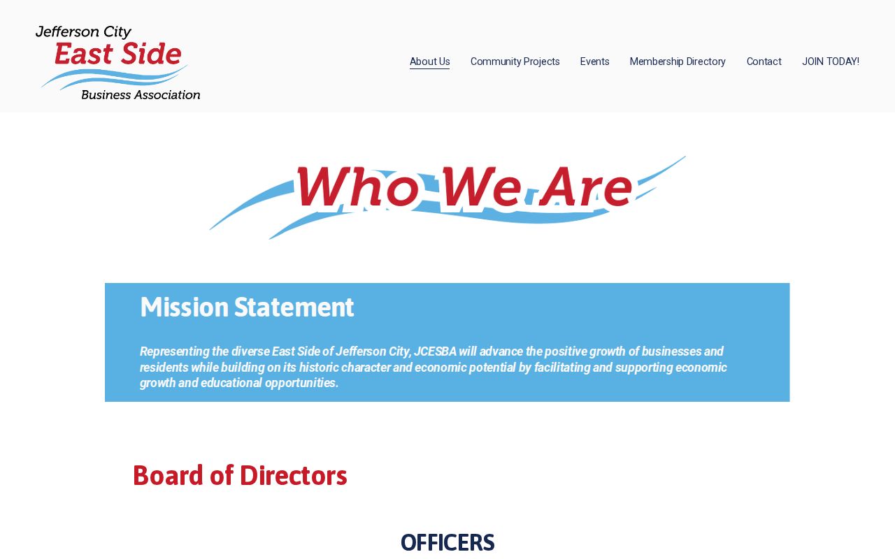
Its membership and contact route can identify an organization, not a current resident roster or an address-to-person match.
Jefferson City Neighbor Source Checks
Official parcel, mapping, Recorder, and library sources identify where a fact came from and when it applied. Unnamed commercial neighbor tools may combine assessor, voter, marketing, and directory feeds. Those products can retain old addresses, merge same-name people, or miss protected residents. They are not a replacement for the original record, especially when a block includes parcels with different uses or a mailing address differs from the physical site.
| Source type | Best use | Key limit |
|---|---|---|
| Official parcel and recorded land records | Confirming a parcel, legal description, and owner-of-record trail | Owner of record does not identify every person present |
| Public community and history sources | Finding a historical context or organization contact | They do not establish membership or residence |
| Commercial address aggregation category | A lead that must be checked against a custodian | May be stale, blended, incomplete, or inconsistent with protected records |
When two sources conflict, retain both dates and return to the original custodian. A newer tax card, recorded instrument, or archive item may answer a different question than an older compiled listing.
Privacy Limits for Jefferson City Neighbors
Public block research has firm boundaries. Parcel records are not a full list of people at a site. Utility and delivery information were not identified as public search sources. Motor-vehicle address data is restricted under the federal Driver’s Privacy Protection Act. Safe at Home and protected-voter rules can create intentional blanks, and juvenile, adoption, sealed, expunged, and restricted vital records also stay outside ordinary neighbor searches. A church, school, state office, business, vacant parcel, PO box, or unique delivery point can appear beside a residence.
For an error in the original record, contact the custodian. The Cole County Assessor handles tax-card questions, the Recorder handles recorded-document questions, and the Circuit Clerk handles court records. A Missouri Sunshine request may seek an existing public record, but it cannot force an agency to create a neighbor list or reveal a closed address. Request segregable public portions when appropriate.
Lawful use. Use Jefferson City neighbors records for personal, lawful research and civic context. Never use them to stalk, harass, intimidate, or expose a protected address.